Description
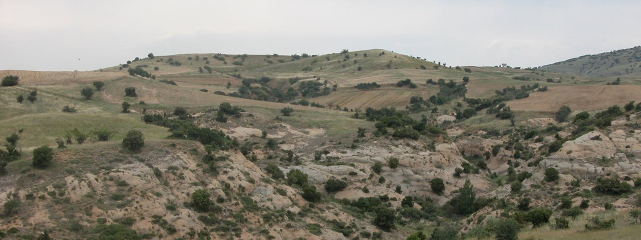
In spite of the relevance of diagnosis to help the success of desertification treatment, there is a lack of standardised procedures to perform it at operational scales. DESURVEY contributes to fill this gap by complementing assessment of desertification status with early warning and vulnerability evaluation of the involved land use systems. To this purpose the interactive effects of climatic and human drivers of desertification are taken into account in a dynamic way. The project goal is to deliver a compact set of integrated procedures, with application and tutorial examples at the EU and national scales. and other desertification threatened areas of UNCCD regional Annexes.
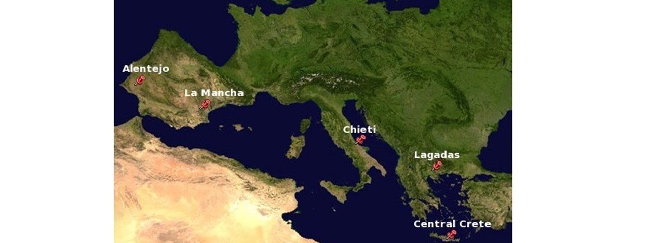
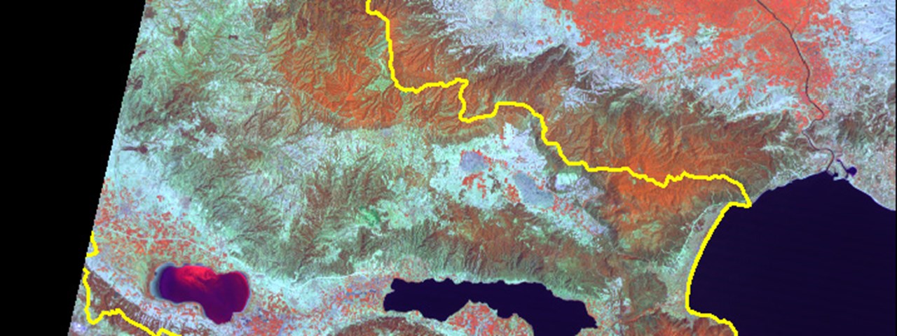
GEOAPIKONISIS contributes in assessing the eco systems dynamics through a multi temporal land /cover mapping in specified 10 years periods.
Consortium leader: Consejo Superior de Investigaciones Científicas / Estación Experimental de Zonas Aridas (EEZA)
http://www.copernicus.eu/projects/desurvey

