Description
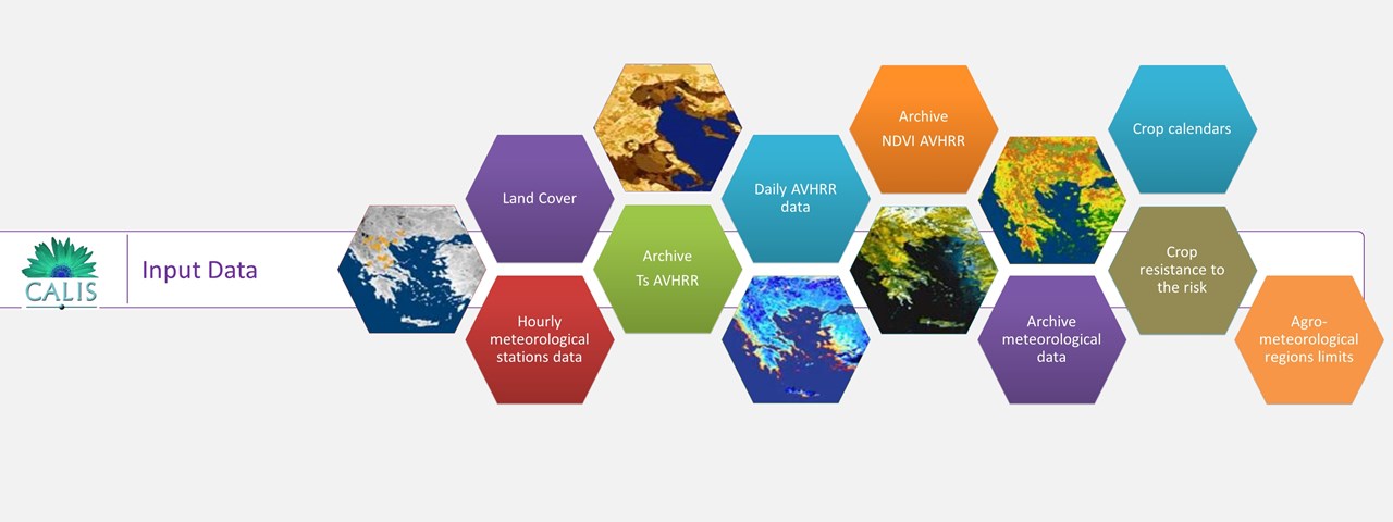
System development, through appropriate combination of satellite data processing techniques (calculation of agro meteorology parameters as surface temperature, vegetation index), telematics and GIS expertise (integration of alphanumeric, vector and raster data, agro meteorology data, crops specific data (phenology stages, critical weather conditions)), for the real time assessment of the impact of hazardous weather to the agriculture.
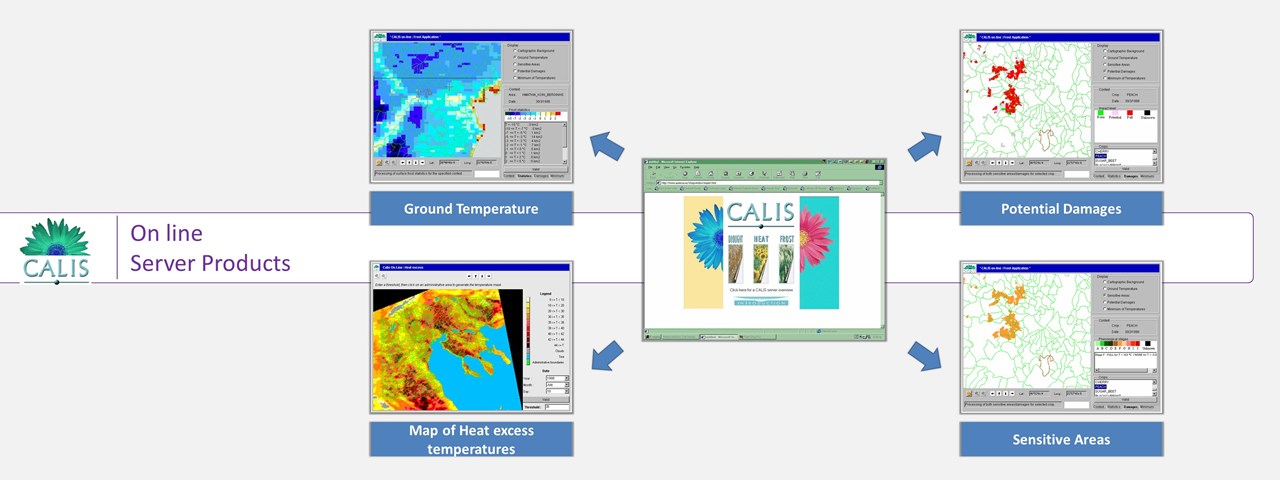
Web server implementation (24/7 availability), providing to the end users, relevant information for risk analysis and assessment, estimation of the risk severity and spatial distribution of the impact (yield loss).
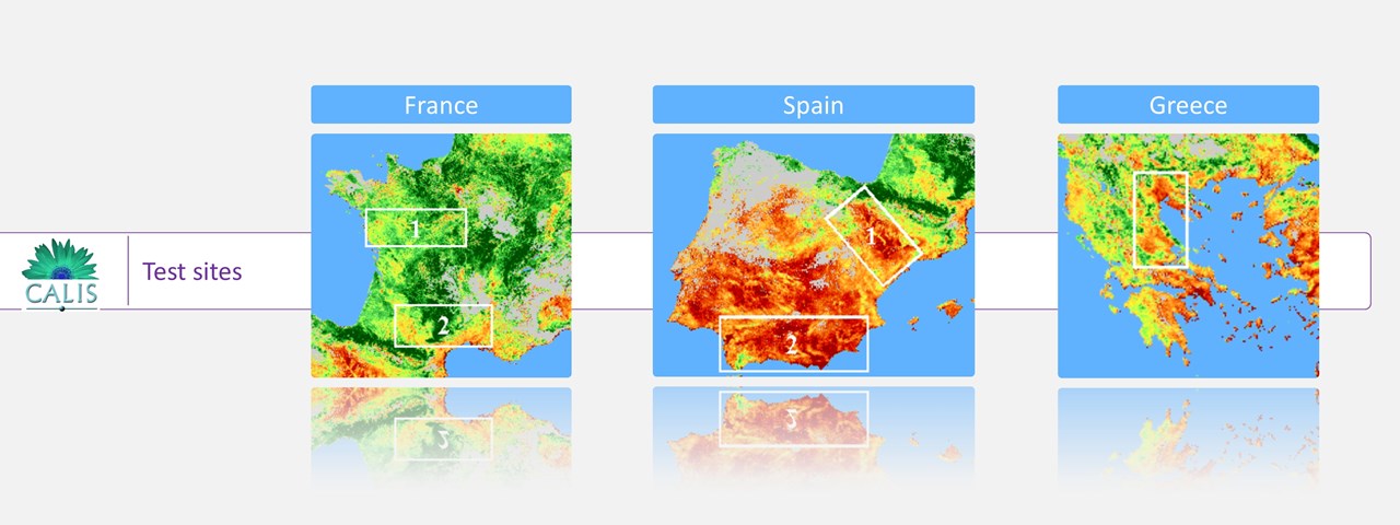
Monitoring of the growing season and verification of catastrophic weather conditions; frost, drought, hail, extreme temperatures, etc. Assessment of the extent and severity of disasters using satellite data (NOAA, SPOT, LANDSAT). Severe weather conditions alerts & Impact Assessment (crop based disaster area and damage).
Publication: Information system for monitoring and evaluating meteorological disasters for agriculture, Medal D., Stakenborg J., Russell G., Biard F., Aifantopoulou D., Palacios M., Riglet J. P., Toulios L., Soler M. A., Masson J. L, Proceedings of the SPIE, Volume 3499, p. 307314 (1998).
http://www.ec-gis.org/Calamities information system

