Description
The project aims to develop, demonstrate and evaluate efficiency of the information generated through using/ processing satellite data for (a) analysis of the current situation in the first place (Appraisal phase), (b) monitoring the evolution of ongoing works (Monitoring phase) and (c) the final assessment (Evaluation phase) following the implementation of programs that are financed through long-term loans from the European Investment Bank (EIB).
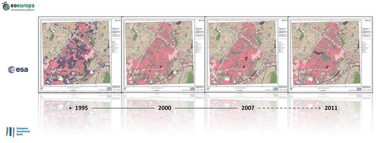
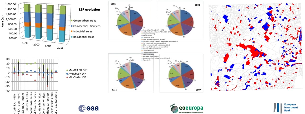
The services were developed in the context of the program "Urban Development of the region "Eleonas" (Athens) and aim to effectively analyze the situation / evolution of the region in the period 1995-2011.
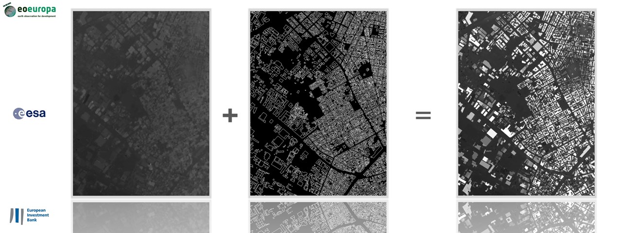
Development of services and Products through exploiting Earth Observation (EO) data that provide accurate, objective and comparable information, useful for analyzing the current situation (Appraisal phase) and changes and to assess the dynamics of the area.
Reference years: 1995, 2000, 2007 & 2011
Satellite data: KVR-1000, QuickBird, WorldView-1 & 2


