Description
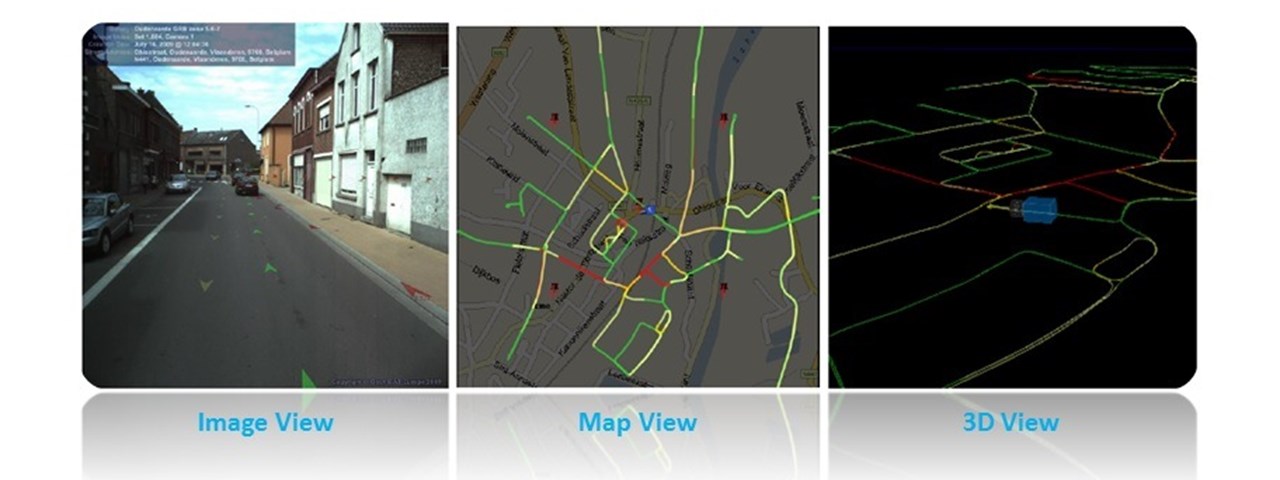
Creation of a Geo-Database that integrates the 3D imagery of the Road Network, for the city and the suburbs of Nicosia.
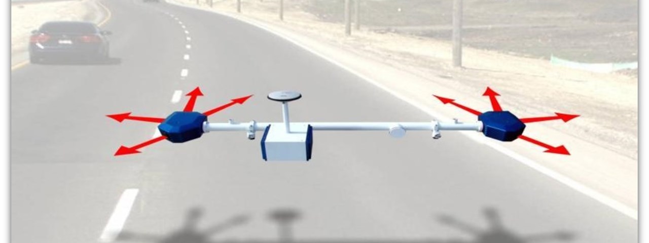
- 3D Mobile Mapping Services (3DMMS): Collection of three-dimensional georeferenced (high precision) image frames, of the road network of the larger Nicosia area (32 municipalities / communities. Measurement of control points coordinates. Data processing and production of 3D files (with proper geo-referencing - accuracy and through erasing personal data)
- Creation of Metadata
- Supply of Hardware and Basic software
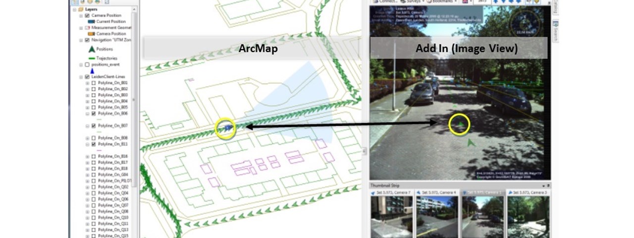
- Design, Development, Installation & Maintenance of the Database
- Design, Development, Installation & Maintenance of the Applications for Management and processing of the three-dimensional Imagery

