Description
Works for the Creation of the (1) Integrated Administration and Control System (IACS) and (2) Olive & Vineyard register.
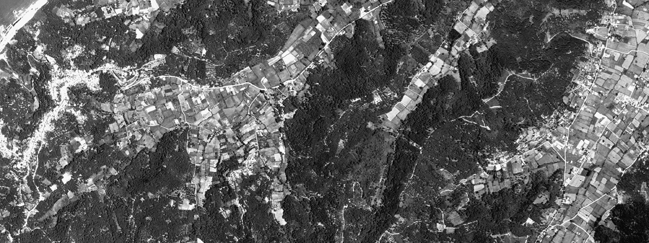
Acquisition of aerial photos at 1:40.000 scale. Areas of Interest: (1) Regions of Macedonia and Thrace (20.915 km2) and (2) Regions of Sterea Ellas, Epirus, Ionian, Thessaly, Macedonia and Thrace (21.000 km2).
Scanning and digital processing of aerial photography (orientation, triangulation, collection of elevation data through stereo observations, etc.), production of Digital Terrain Model, orthophotos, etc.
Selection and measurement of control & check points' coordinates (GPS).
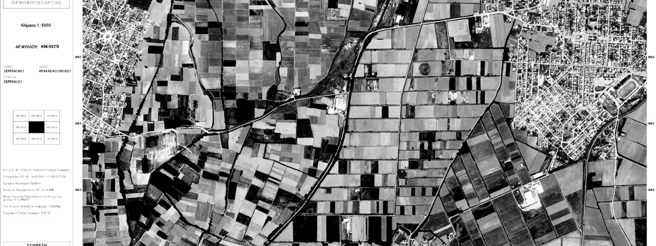
Edition and printing of orthophotos map sheets (1:5.000, EGSA 87).
Integration of aerial photography acquisition information (acquisition lines, photocentres, etc) and map sheets limits, administrative limits, etc.

