Description
The enhanced and strict requirements adopted for granting the subsidies to the farmers relate to correct location and delimitation of the declared (for subsidies) parcels. The vast majority of the farmers associations in Greece had to deal with inaccurate and problematic parcels identification and delimitation (previous years campaigns). The lack of a cadastral infrastructure and the changing strategies of the farmers as far as it concerns their cultivations (parcels location, cultivated crops, etc), render the localization exercise of parcels difficult. The collection of compliant data becomes more complex if it relies on analogical data (orthophotos, ilots, etc.).
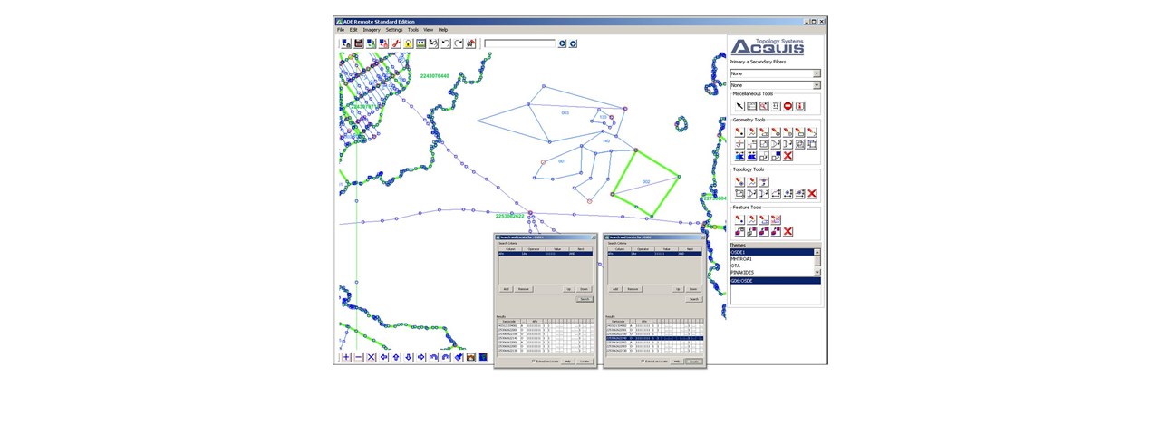
To optimize the process of the submission of the declarations and to obtain a “correct" and complete data set of the declared parcels, certain Farmers' Associations adopted the digital approach for the collection of the declarations. To facilitate them, GEOAPIKONISIS designed, developed and implemented the necessary SW infrastructure.

