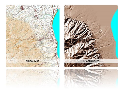
Digitization of the 1:50.000 map sheets issued by the Hellenic Military Army Geographic Service (HAGS), 1998

Employer:

HELLENIC REUBLIC, Ministry of Environment, Planning and Public Works

Time Frame:

11/1998 - 06/1999

Description

Digitization of (scanned) four-color transparencies of the relative map sheets. Information Layers: Road network, Hydrographic network, Contour Lines and Points Of Interest.

Area of Interest: West and Central Macedonia and Northern Thessaly.


Services

  • Digitalization of cartographic data
  • Processing of geospatial layers at GIS Arcinfo environment
  • Topology and attribute information quality controls


G9809 GYS