Description
The project has been realized for 10 prefectures at 2003 and another set of 15 prefectures at 2006.
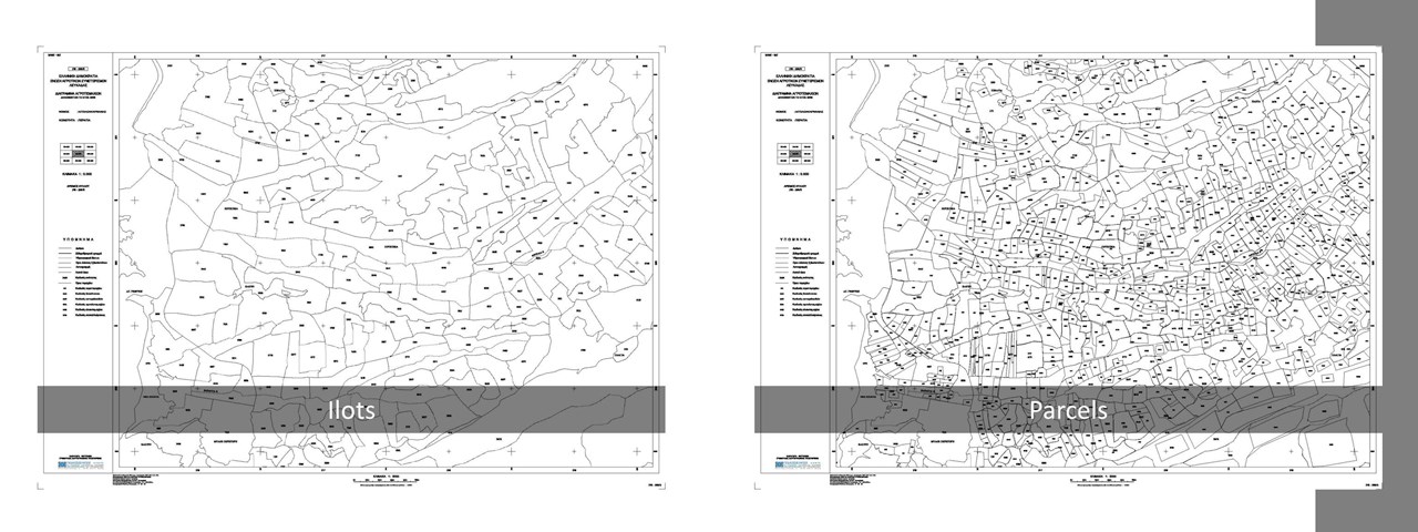
The project contributes at creating and updating the Land Parcel Identification System (LPIS) in the context of IACS and through identifying and resolving location and delimitation issues of agricultural parcels
Farmers' declarations data were subject of digitization and processing; cross checking of the declared data (parcels cartographic unique identifier, parcel area, parcels geometry (overlaps, etc)) with the results of the digitization.
Following this, on the basis of the findings, the parcels are assigned a proper code, referring to the processing results; "problematic" or "errors free".
Update and printing of the ilots’ maps, where the correct parcels are displayed only.

