Description
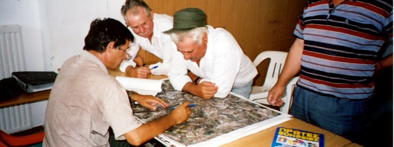
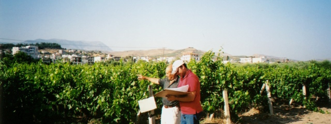
Ground surveying and first / summary assessment of parcels limits.
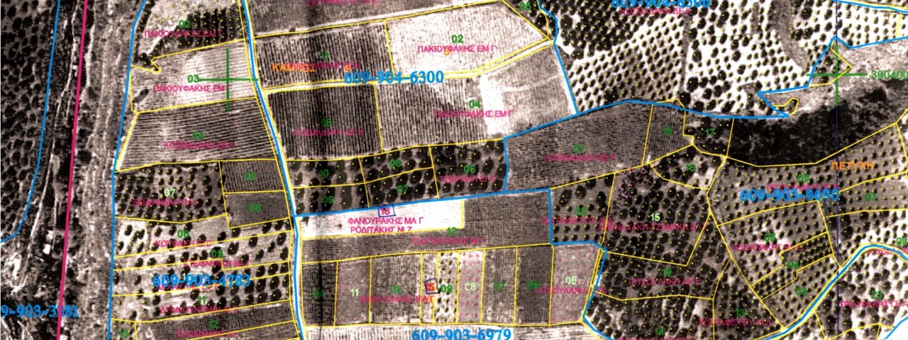
Collection, integration, management and processing of raster, vector and alphanumeric information of 180.000 declarations (Vineyards and Olive plantations), 900.000 parcels and 25.000.000 olive trees.
Completeness, Correctness and Conformance control of the submitted declarations.
Verification of the declarations data; olive trees counting / detection on orthophotos.
Ground surveying for locating / verifying declarations data.
Maps edition and printing; large scale cadastral map (scale ≥ 1:5000).
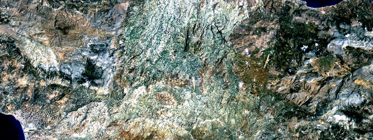
Study Areas: Prefectures of Heraklion, Pieria, Viotia and Fthiotida.

