Description
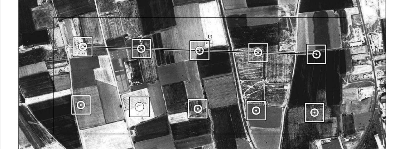
EUROSTAT Land Use Cover Area frame Statistical survey (LUCAS).
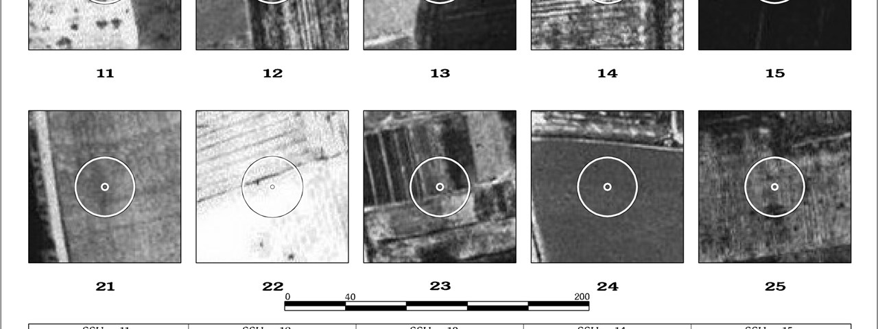
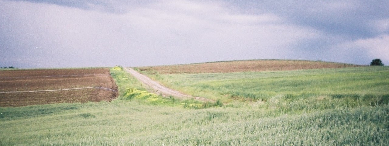
Ground surveying (5000 points) and documentation (landscape photos) of land use/ over and geomorphological characteristics within selected sampling units. Design and implementation of farmers interviews.
Digitization of the survey data. Statistical estimate of the land use/ cover areas, environmental parameters and crops yield.
Project area: Greek territory
Survey years: 2001 & 2003

